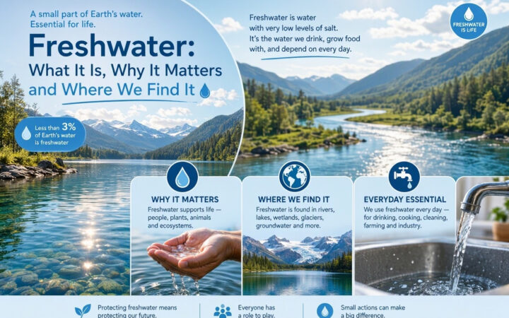
Freshwater is often discussed as if it were a single resource, but it moves through connected landscapes and exists in many forms. Rivers, lakes, wetlands, snow, glaciers, soil moisture and groundwater all play different roles. Understanding a few core freshwater concepts helps explain where water comes from, how it moves, why quality changes and why local decisions can affect people and ecosystems downstream.
The water cycle connects surface water and groundwater
Water moves between the atmosphere, land and water bodies through evaporation, transpiration, condensation, precipitation, infiltration, runoff and streamflow. Some rain and melting snow flow over land into streams and rivers. Some soak into soil and may continue downward to recharge groundwater. Groundwater can move through pores and cracks in rock and sediment, then discharge into springs, wetlands, rivers or the sea.
The cycle is continuous, but the timing and speed of movement vary. A storm may produce rapid runoff in a paved urban area, while water entering a deep aquifer may move slowly and remain underground for a long time. The U.S. Geological Survey’s water-cycle guide explains the main storage areas and flows.
Watersheds and catchments
A watershed, also called a drainage basin or catchment, is the area of land from which water drains toward a common outlet such as a stream, river, lake or estuary. Ridges and other high ground help define its boundary. Rain falling on different sides of a watershed divide may flow into different river systems.
Watersheds connect upstream and downstream places. Soil erosion, fertiliser use, road drainage, wastewater and land development in one part of a basin can affect water quality or flood risk elsewhere. This is why water management often works best at catchment scale rather than focusing only on the point where water is collected.
Surface water and groundwater
Surface water includes rivers, lakes, reservoirs, ponds and wetlands. Groundwater is water stored below the land surface in saturated soil, sediment and rock. The boundary between the unsaturated zone and the saturated zone is commonly described by the water table.
An aquifer is a body of rock or sediment that can store and transmit enough groundwater to supply wells or springs. Its usefulness depends on properties such as porosity, which describes the space available to hold water, and permeability, which describes how easily water can move through connected spaces. Not every underground layer is a productive aquifer.
Groundwater recharge and depletion
Recharge occurs when water infiltrates from the land surface and reaches an aquifer. Recharge rates depend on rainfall, soil, geology, vegetation, land cover and the depth and properties of the aquifer. Some aquifers can respond relatively quickly to wet conditions; others recharge very slowly.
When pumping persistently exceeds the rate at which groundwater is replenished, water levels can fall. This may increase pumping costs, reduce spring or river flows, affect wetlands and cause shallow wells to stop supplying water. The USGS guide to infiltration and recharge explains why replenishment varies from place to place.
Water quantity: withdrawal, consumption and flow
Water withdrawal is the amount taken from a river, lake, reservoir or aquifer. Some withdrawn water is returned to the environment after use, although its quality, temperature or location may have changed. Water consumption is the portion not returned to the same system in the same time period, for example because it evaporates, is incorporated into products or is transferred elsewhere.
Streamflow describes the volume of water moving past a point over time. Storage describes water held in a lake, reservoir, snowpack, soil or aquifer. These measures answer different questions, so a water report should make clear whether it is describing withdrawals, consumption, flow or stored volume.
Water quality: physical, chemical and biological conditions
Water quality describes whether water is suitable for a particular use and whether it can support healthy ecosystems. Physical indicators may include temperature, colour and turbidity, which is a measure of cloudiness caused by suspended material. Chemical measures can include pH, dissolved oxygen, conductivity, nutrients and specific contaminants. Biological assessment may examine microbes or the condition of organisms living in the water.
No single test describes every aspect of quality. A sample taken at one time and location may miss seasonal changes or pollution pulses. Monitoring plans need suitable sampling locations, methods, laboratory quality controls and an understanding of the intended use. Drinking-water standards, irrigation requirements and ecological objectives are not identical.
Water stress and scarcity
Water stress occurs when demand places significant pressure on available supplies or when pollution and infrastructure problems make water difficult to use. Physical scarcity refers to limited water availability, while economic or service-related scarcity can arise when people lack infrastructure, finance or institutions to obtain safe water. A region may have rivers or rainfall and still face unreliable access.
Seasonality matters. A river may carry substantial flow during a wet season but little during a dry period. Groundwater can help buffer seasonal changes, but it is not an unlimited reserve. For a deeper discussion of causes and responses, read Freshwater Scarcity: Causes, Consequences and Solutions.
Environmental flows and freshwater ecosystems
Rivers and wetlands need water at appropriate times and in suitable amounts to maintain habitats, migration routes, water quality and ecological processes. Environmental-flow assessments consider how changes in river flow affect ecosystems and the people who depend on them. A river is not simply a pipe for water supply; its flow patterns help shape the landscape and support life.
Freshwater habitats include lakes, rivers, streams, floodplains, marshes and other wetlands. Their wildlife and ecological roles are explored in our guide to freshwater ecosystems.
Human activity changes freshwater systems
Dams and reservoirs can change the timing of river flow. Drainage and development can reduce wetlands or increase runoff. Agriculture can introduce sediment, nutrients and pesticides, while urban stormwater can carry oil, metals, litter and other pollutants. Wastewater treatment, careful land use, wetland protection and pollution prevention can reduce some of these pressures.
Water systems are also affected by changing rainfall patterns, heat and extreme events. The same catchment may face flood risk in one period and water shortages in another. Understanding the links between water, land and climate is essential for planning.
Frequently asked questions
Is groundwater separate from the water cycle?
No. Groundwater is part of the water cycle. It is replenished by infiltration and can flow toward springs, rivers, wetlands and the sea.
Is every aquifer suitable for drinking water?
No. Aquifers differ in yield and water quality. Groundwater may contain naturally occurring minerals or contaminants and may need treatment before it is safe to drink.
Why does water quality vary within one river?
Water quality can change with rainfall, tributaries, land use, discharges, sediment, temperature and biological activity. Sampling at multiple locations and times gives a more useful picture than a single measurement.
Conclusion
Watersheds, the water cycle, aquifers, recharge, water quality and environmental flows are connected ideas. They explain why freshwater is shared across landscapes and why decisions upstream can affect communities and ecosystems downstream. Continue with freshwater basics, freshwater in everyday life and the practical freshwater conservation guide.